






 payment on account
 In cash
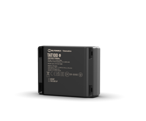
The Teltonika TAT100 is a compact and reliable GPS tracker designed for versatile asset monitoring and management. Engineered to provide robust tracking solutions, it ensures constant visibility of your valuable assets, making it an indispensable tool for businesses and individuals seeking enhanced security and operational efficiency.
Technical Specifications
| Parameter | Value |
| Model Name | Teltonika TAT100 |
| GNSS | GPS, GLONASS, Galileo, BeiDou, SBAS |
| Connectivity | GSM (2G) |
| Internal Battery | 1800 mAh Li-Po (up to 30 days in power save mode) |
| Operating Voltage | 6 - 30 V DC (External Power) |
| Digital Inputs | 1 (Configurable) |
| Digital Outputs | 1 (Configurable) |
| Analog Inputs | 1 (e.g., for fuel sensor) |
| Accelerometer | Integrated |
| Internal Memory | 128 MB (stores up to 50,000 records) |
| Dimensions | 78 x 46 x 17 mm |
| Weight | 75g |
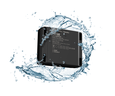
| Water Resistance | IP67 |
| Operating Temperature | -25°C to +60°C |
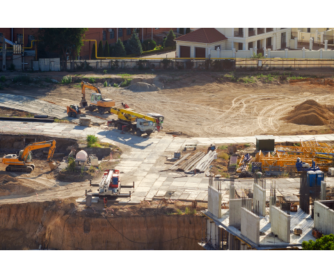
The Teltonika TAT100 GPS tracker offers unparalleled precision in location tracking, utilizing multiple GNSS systems to ensure accuracy even in challenging environments. This sophisticated device provides real-time monitoring capabilities, allowing you to track vehicles, containers, machinery, or any other valuable assets with confidence. Its robust build and compact design make it ideal for various applications, from logistics and construction to personal use, ensuring your assets are always within reach of your digital map.
Equipped with a long-lasting internal battery, the TAT100 can operate independently for extended periods, reducing the need for frequent recharging. When connected to an external power source, it offers continuous operation and acts as a powerful solution for fleet management. The integrated accelerometer enables intelligent features such as motion detection, accident alerts, and tamper detection, providing an additional layer of security and operational insight. With a wide operating temperature range and IP67 water resistance, this GPS tracker is built to withstand harsh conditions.
Beyond basic location services, the Teltonika TAT100 excels with its advanced monitoring features. It supports geofencing, allowing you to define virtual boundaries and receive instant notifications when an asset enters or exits a specified area. The analog input capability makes it possible to connect external sensors, including those for fuel monitoring, offering crucial data for optimizing consumption and preventing theft. This level of detailed control helps businesses reduce operational costs and improve efficiency across their entire fleet or asset portfolio.
Choosing the TAT100 means investing in reliability and peace of mind. Its extensive internal memory ensures that no data is lost, even when GSM connectivity is temporarily unavailable, logging up to 50,000 records for later transmission. Whether you need to track a single valuable item or manage an entire fleet, this professional GPS tracker delivers performance and versatility. If you are looking to buy a high-quality monitoring solution, the Teltonika TAT100 is an excellent choice. Check the current price and availability, with fast delivery options available.
🎁 Expert Advice:
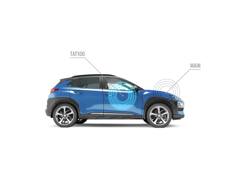
For optimal performance and extended battery life, consider mounting your Teltonika TAT100 in a location with clear sky visibility, away from large metal objects that might obstruct the GNSS signal. If relying solely on the internal battery, configure the device to a "deep sleep" or "power save" mode to maximize standby time.
💡 FAQ:
❓ How long does the internal battery last?
The internal 1800 mAh Li-Po battery can last up to 30 days in power save mode, depending on configuration and reporting frequency.
❓ Is the Teltonika TAT100 waterproof?
Yes, the TAT100 features an IP67 rating, meaning it is dust-tight and can withstand immersion in water up to 1 meter for 30 minutes.
❓ Can I connect external sensors, like a fuel sensor?
Absolutely. The Teltonika TAT100 includes one analog input, specifically designed to support external sensors such as fuel level sensors for advanced monitoring.
❓ What is the accuracy of the GPS tracking?
The device utilizes multiple GNSS systems (GPS, GLONASS, Galileo, BeiDou), providing typical positioning accuracy of less than 3 meters in open sky conditions.
❓ Is remote configuration possible for the TAT100?
Yes, the TAT100 supports remote configuration via SMS commands or through a dedicated configuration software platform, allowing for flexible management from anywhere.
There are no reviews for this product, be the first to leave your review.
No questions about this product, be the first and ask your question.